Example Leaflet Maps
-

Example Map. The example map created in the article Mapping with Leaflet.
-

Public Intoxication. Heatmap of public intoxication incidents. Source: City of Austin.
-

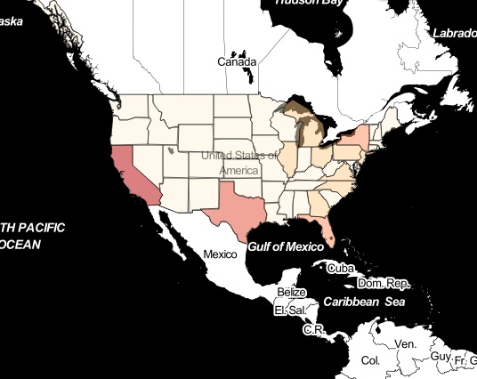
Population Estimates. 2013 State population estimates from the U.S. Census Bureau.
-

Vehicle Burglaries. Heatmap of vehicle burglaries. Source: City of Austin.
-

World Countries. Choropleth map of world continents and counties. Source Natural Earth.
-

Earthquakes. All earthquakes reported during the past week. Source: GeoJSON feed from the USGS.
-

qgis2leaflet Map. Example US population map made using the qgis2leaflet plugin for QGIS.
-

Geolocation on a Map. Example of using the Geolocation API to show position on a map.
-

Texas Highland Lakes Contours. Contour maps of the Texas Highland Lakes.